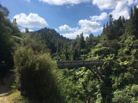
I’m on the shuttle bus that takes me from Queenstown around Lake Wakatipu to the start of the Greenstone Track. This is yet another “natural break in the trail” as they call it, similar to the Cook Straight and the Rakaia and Rangitata Rivers. It seems strange that the trail just ends and starts again on the other side of the lake, but I’ve come to accept that unless you’re travelling with an inflatable raft, it’s practically impossible to seamlessly complete this trail.
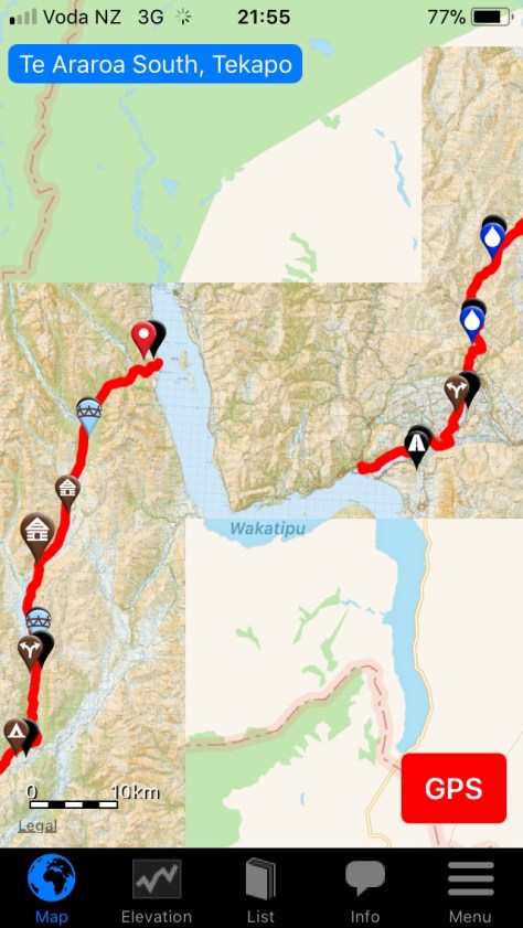
Regardless, I’m absolutely pumped for the final 300km and have finally reached the point where I’m getting sad that the experience will be over. I met a nobo (northbound) hiker a while back who told me that by Queenstown everyone looked broken and over it, but I feel refreshed and ready for more, and I can’t wait to see what the trail will throw at me in these final 2 weeks!

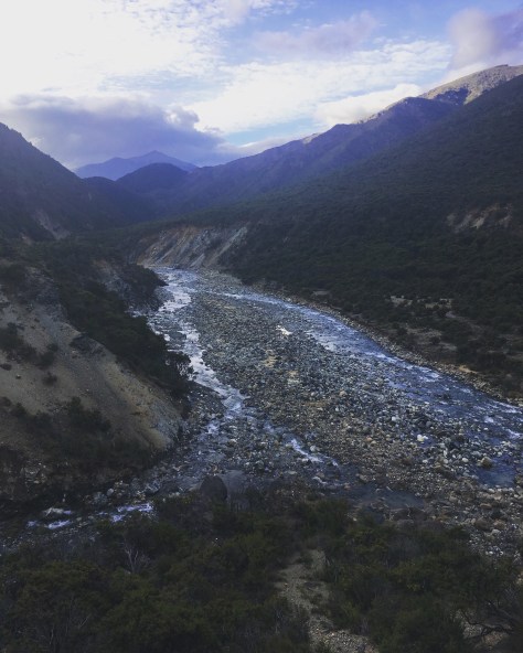
I had to stop writing due to serious motion sickness during the bus trip, but I ended up walking all the way to Taipo Hut on my first night after stopping at the Greenstone Hut, which was flooded with people. I literally walked in and then walked out, and at 5pm had to seriously hustle to reach Taipo Hut just before 8pm.

(View looking back at the valley between Taipo and Carey’s Hut.)
I was in a cranky mood prior to arriving at the Greenstone Hut because I’d fallen and cut my hand on a sharp rock and had unnecessarily gotten my feet wet. I knew the only way to get out of my mood was to keep hiking, and after 2 minutes I legitimately got my feet wet again, and from that moment on the trail and I were at peace. In fact, my feet got wet and muddy for the following 2.5 hours so I was well beyond care by the 20th bog crossing.

(My feet are slowly falling apart after being permanently wet in my shoes.)
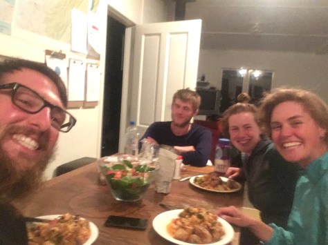
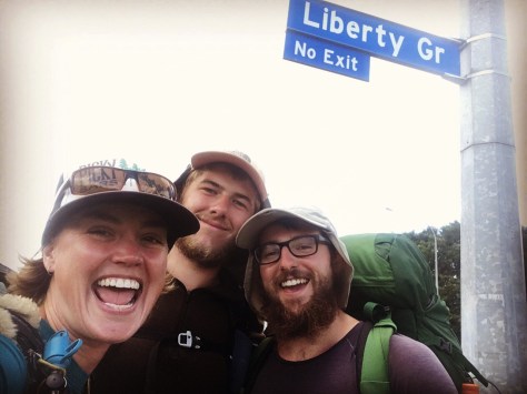
I had a really good time in Queenstown after Tom, Will, Kess and Brian all arrived a few hours after me. I thought the boys had left Wanaka ahead of me, and was trying to stop myself from attempting to catch them, but I later found out that Tom had been struck down with food poisoning after leaving town, and it was the boys who had been trying to catch up to me.

(The section between Wanaka and Queenstown is 3 days of steep climbing.)
Because Tom and Will lived in Queenstown last winter, they took us out on the town, and it was the first time since New Years in Auckland that I’d been out with a group of TA hikers like that. Everyone took a zero day afterwards except me, but it gave me a chance to get ahead and have my solo time again, which I’ve loved and hated equally depending on how bad the trail is. (Good trail = happy Rozanne. Bad trail = agitated, craving company Rozanne.)

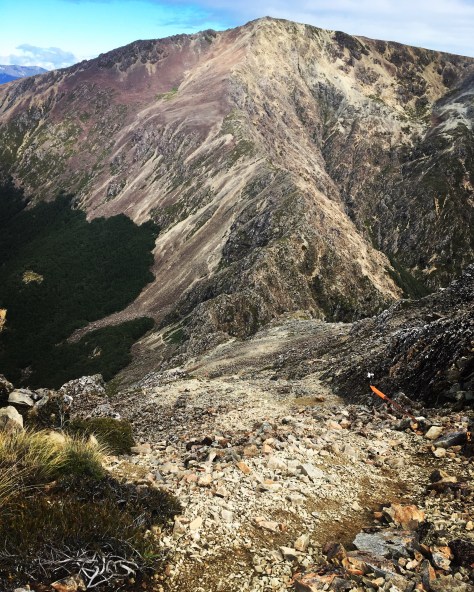
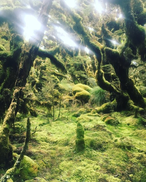
(The trail disappearing from erosion and requiring yet another high leg lift over barbed wire.)
I’ve been writing this post over 2 days now, and just this morning I fell into despair after losing the trail for a good 20 minutes. I couldn’t see any markers beyond the first one, and after following the incorrect path I tried using my Guthooks app to get me back on track. When I was finally back on the GPS track I was still just wandering in the middle of the valley with no trail, and it took me another 10 minutes to actually locate a marker, which was nowhere near where the GPS line was leading me.
Here’s the video I took after finding my way back:
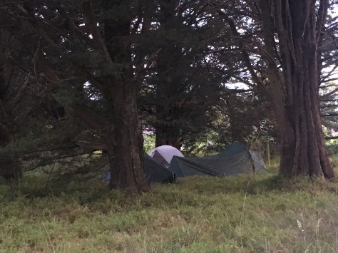
I hiked 33km today and am camped next to a suspension bridge crossing the Mararoa River. I stopped for dinner early at 4pm at a campsite where I was swarmed by sandflies, but thankfully there’s only a handful outside my tent right now, and the only animal hassling me is a black and white bird who seems hostile about me moving in on its territory.
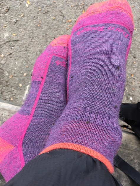
(Sandflies covering my socks during dinner!)
I should make it to State Highway 94 tomorrow which will take me into Te Anau for one of my last resupplies. I’ve heard the forest after the highway is challenging, so at least I’ll be kept on my toes right until the finish. Although the South Island has been beautiful, it still has some shitty connecting trails, but I guess that’s just the Te Araroa – love it or hate it, it is what it is!
Happy trails!
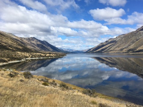
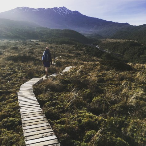
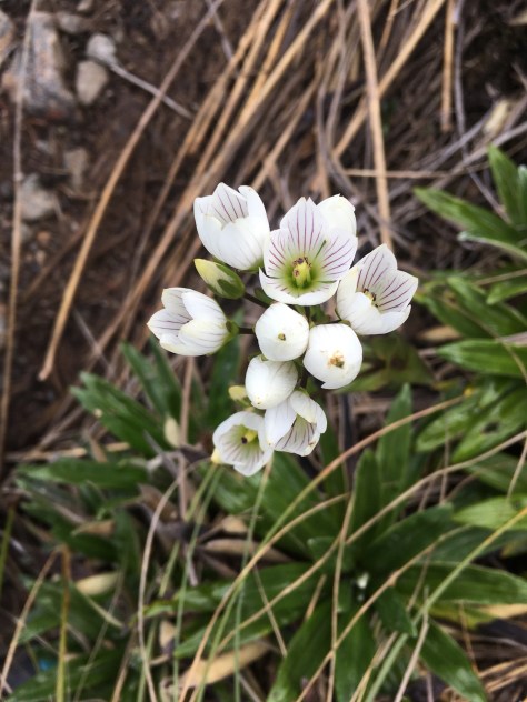
(Beautiful North Mavora Lake.)


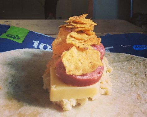


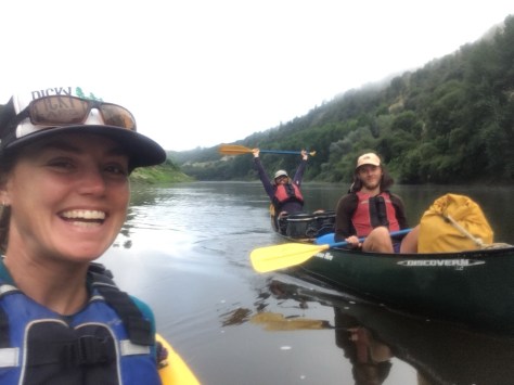
 When we booked the trip in Taumarunui we bought all our food for the trip and left it at the information centre for the canoe company to pick up (Canoes 4U). The tricky part was that we had to purchase 5 days of food for the river alongside 7 days of food for the section in between in under two hours. I felt like I was on one of those supermarket gameshows where people run around filling their trolley with anything they can grab. We then had to run back to the information centre 300m down the street with our trolleys before it closed at 5pm and literally made it with only minutes to spare.
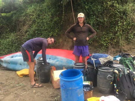 I was really surprised at how many rapids there were and how long the days of paddling actually were on the river as well. When they said it would take us 5-7 hours to paddle just over 30km I didn’t believe them, but as I’ve learned the Kiwis don’t exaggerate, and that’s exactly what it took us each day with only a few leisurely stops in between.
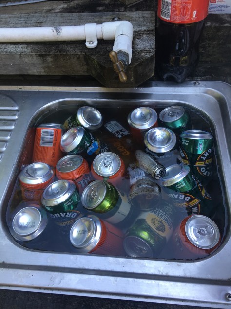
 We stayed at one DOC (Department of Conservation) campsite, one private campsite, on a roadside after the convent we’d hoped to stay at was going to cost over $20 each to camp, and spent our final night at a DOC hut where we managed to finish off all the beer we’d brought with us on the trip.